COURSES
Hands-on courses that teach you to do geospatial data science in Python — from first principles, on real data, no black boxes. Build the judgment to direct the tools, not just run them.
LIVE IN BUDAPEST

Hands-On GeoAI: From Open Data to A Working Spatial Model In A Day
One full Thursday, 5 or 12 November. 20 seats, laptops open, no slides — you leave with a working model and a repo you can extend on Monday. For working data analysts and GIS professionals who write Python. €390, or €520 company-invoiced.

Fundamentals of GeoAI: Deep Learning for Geospatial Analysis
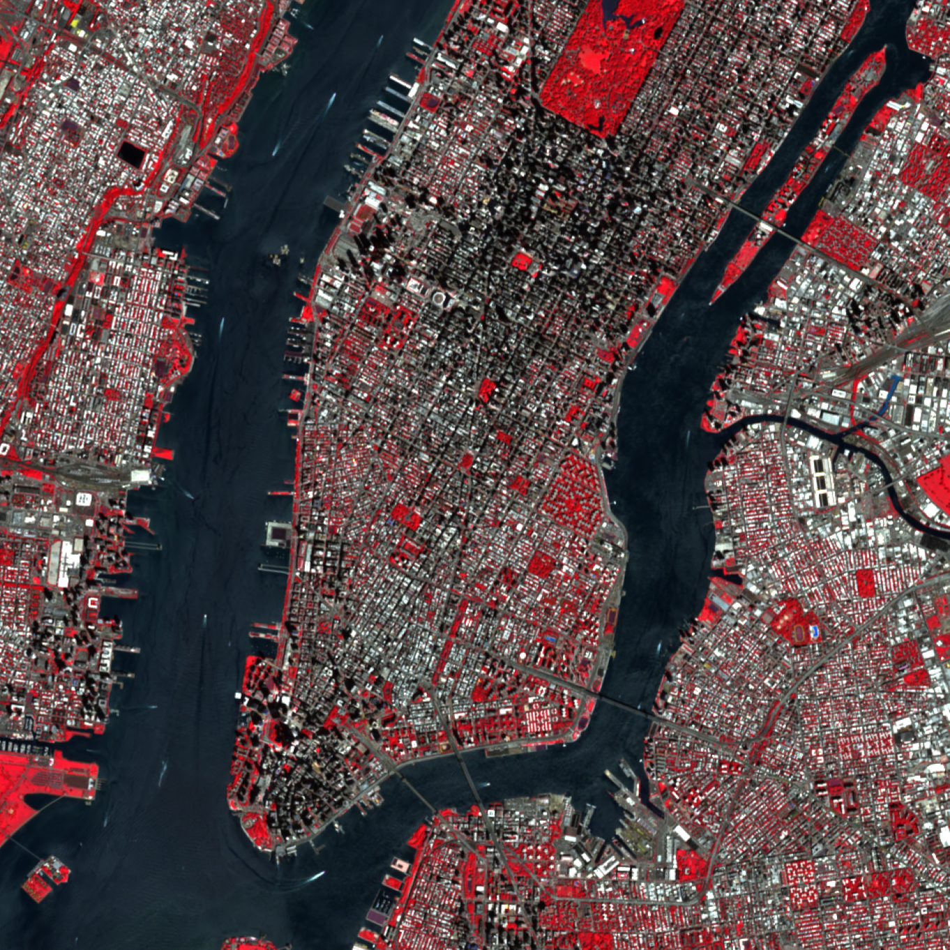
Satellite Data Science in Python
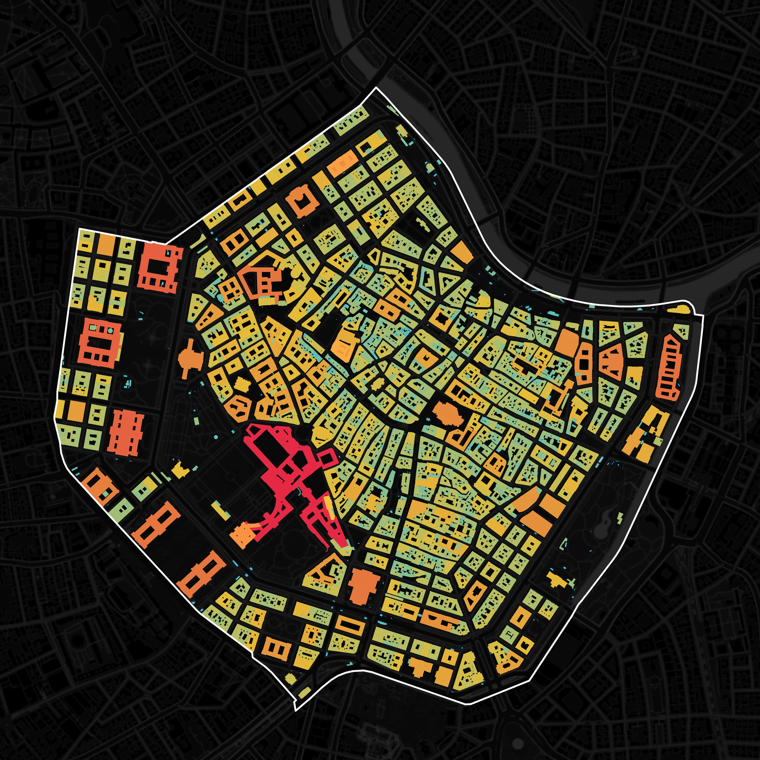
Urban Analytics with Python: An Introduction
How to Think Spatially
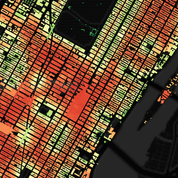
Urban Analytics with Python: Advanced Methods
Python Foundations for Geospatial Data Science

30-Day Map Challenge 2025: Director's Cut

Network Science & Visualization
