The person behind the platform
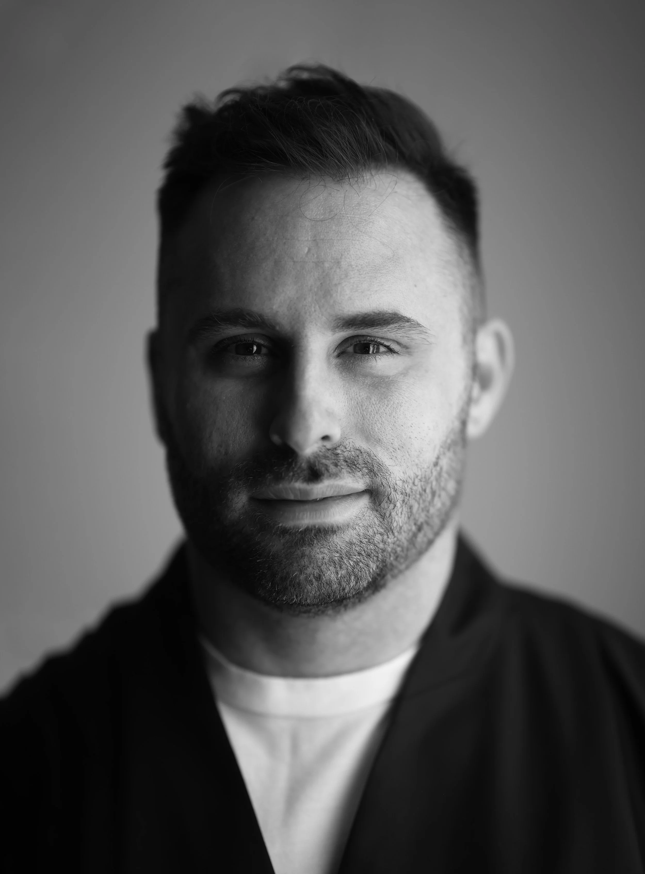
I'm Milan Janosov — a geospatial and network scientist, and the person building The New Science of Maps.
My background is in physics and biophysics, and I earned my PhD in network and data science in 2020. Along the way I studied and worked at Eötvös Loránd University and Central European University in Budapest, at the Barabási Lab in Boston, and at Bell Labs in Cambridge. Those years shaped how I think about data, networks, and spatial systems — not as abstract theory, but as practical tools for understanding the world.
Since then I've worked across academia, industry, and the public sector. I founded Geospatial Data Consulting, co-founded spatial-data startups, and served as a research expert for institutions including the European Commission and Oxford Economics. In each of those roles the focus has been the same: bringing spatial analytics into real decisions — in urban planning, policy, and commercial work.
I also spend a lot of time teaching and writing. More than 50,000 learners have taken my online courses, I've served as visiting faculty at Central European University, and I've been fortunate to be named to the Forbes 30 Under 30 list, speak at TEDx, and write three #1 bestselling books. My work has appeared in outlets ranging from Nature to The New York Times — and, day to day, I share what I'm building with a community of over 100,000 followers on LinkedIn and beyond.
The New Science of Maps is where all of that comes together: the research, the applied work, and the teaching, in one place.
The mission
For years, when people asked me where to start with geospatial data science, I answered with a list of links — scattered across YouTube, Medium, Amazon, and Substack, some of them already outdated. Eventually I started losing track of my own channels too. This platform is where all of that work now lives in one place. But it's also a claim about what this field has become.
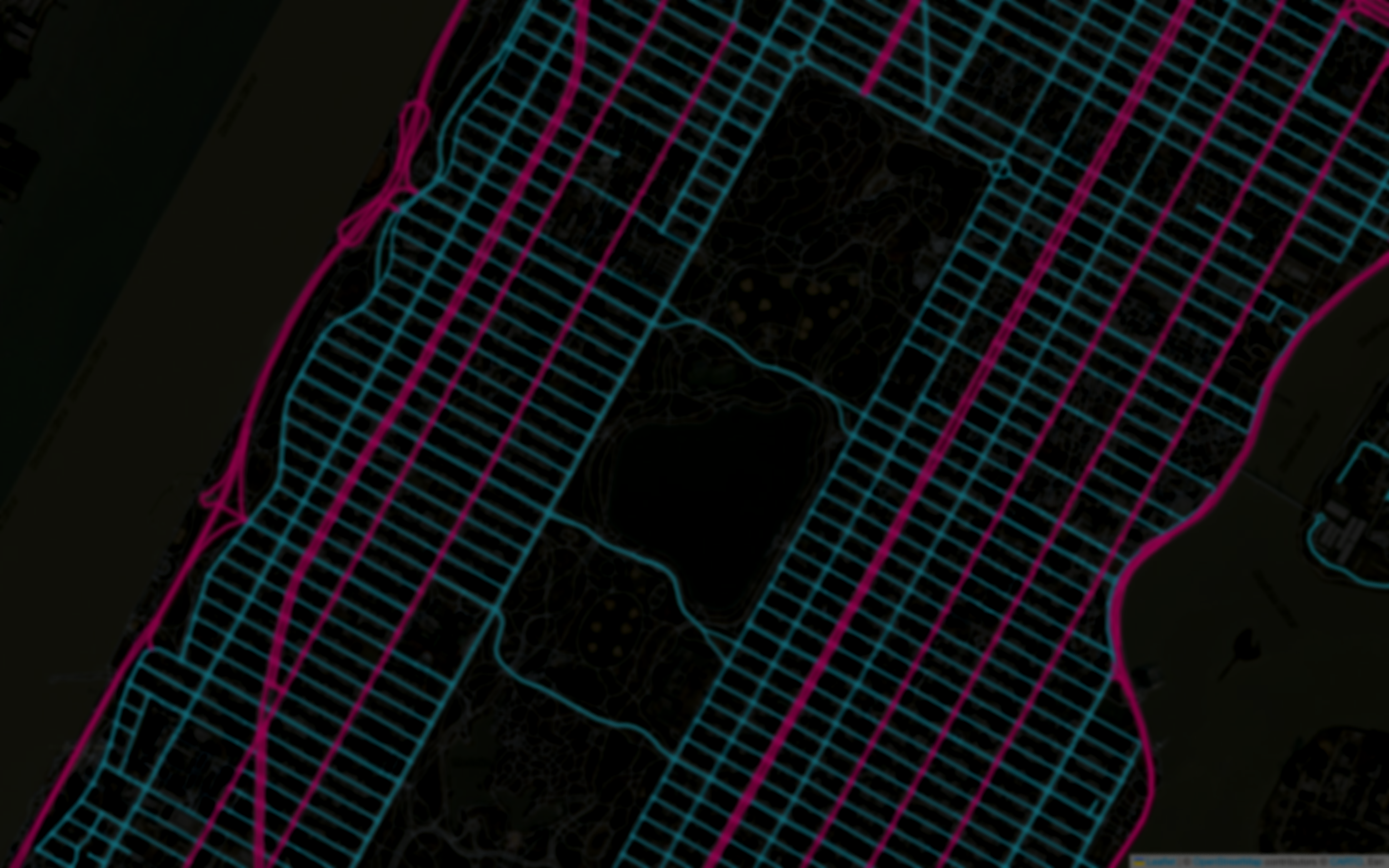
Maps are no longer just navigation tools.
They are the primary lens through which we understand cities, human behavior, climate, infrastructure, and opportunity. Where a location is, what surrounds it, how it connects, how it changes — these questions sit underneath almost every serious decision about the world. Which makes this quietly one of the most broadly useful ways to think there is.
That's the shift this platform is built around. Not maps as static pictures, but maps as a way of thinking — a way to turn messy spatial reality into something you can measure, model, and act on. It's built for people who want to do that work seriously and programmatically: analysts, researchers, engineers, and the many GIS people moving from clicking through a GUI to writing their own code.
Why it needs real expertise — now more than ever.
We're at a moment where AI can write code, run tools, and generate maps on request. That's genuinely useful, and I use these tools every day. But it changes what matters, rather than removing the need for skill. When a model can produce a map in seconds, the hard part is no longer running the tool — it's knowing which map to make, whether the output is actually right, and what it means for the decision in front of you.
An AI will confidently hand you a wrong answer. Ask it how many restaurants are in a neighborhood and you'll get a number. But OpenStreetMap coverage is uneven — some districts are mapped far better than others, and small independent businesses less well than the chains. So that number is always a lower bound, and nothing in the output will ever tell you so. It takes real understanding to catch this. That's the difference between running a tool and directing it — between a result and a decision you can defend.
So this platform doesn't teach you to lean on black boxes. It teaches from first principles, on real data, with honest attention to what each method can and can't tell you. The goal is not just to do geospatial data science, but to build the judgment to direct the tools — and to know when they're wrong.
In the same spirit: this isn't a tour of software, and it isn't complete on purpose. There's no SQL or PostGIS here, no survey of cloud-native formats, no full treatment of SAR. All three matter to a lot of working practitioners. They're simply not what this teaches, and I'd rather say so plainly than pad a catalog.
That's what the new science of maps is really about: not the software, but the way of seeing.
— Milan Janosov