GeoAI
From a raster you draw by hand to a segmentation model you trained.
Who this is for
You work with rasters or remote sensing and want to cross into deep learning without hand-waving. Or you are a data scientist who knows neural networks and needs to understand why they behave differently on a grid of pixels with a coordinate system. This journey builds the models from first principles — a single convolution filter up to a U-Net — on real satellite, aerial, and LiDAR data.
Assumes: the Getting Started journey, or equivalent — comfortable Python, NumPy array thinking, and the geospatial stack at the level of the first Essentials book. No deep learning or PyTorch experience is assumed; that is what this journey is for.
By the end you can
Search a public satellite archive, download exactly the bands you need, and convert them to surface reflectance correctly — no account, no API key.
Build every component of a U-Net in PyTorch yourself, and say why a fully connected network is the wrong tool for a raster.
Map cropland, detect change between two dates, segment buildings from aerial imagery, and separate buildings from trees with LiDAR — each evaluated on a geographic hold-out, not a shuffled split.
Choose between architectures, and between training from scratch and a foundation model.
Connect a language model to spatial tools and get an answer you can check.
How to follow this journey
Go in order. Each step assumes the one before it — the route is the prerequisite chain, not a ranking.
Step 1 is a free article and the Satellite course has a free sample. Run the sample's Chapter 0 first — if your laptop reaches the public catalog, you have everything the journey needs.
On paid steps, Learn more opens the course or book page; Start the course / Get the book goes straight to Gumroad, where most items have a free sample.
Going deeper is optional and unordered — a shelf, not a route. Come back to it after the last step, or whenever a step raises a question.
The route
6 steps · 3 free · roughly 6.5 hours of video plus one book
1. What Is GeoAI — and Why Does It Matter?
The bigger picture before the first tensor: what GeoAI is, where it already works, and where it still fails.
Read → Free article
2. Satellite Data Science in Python
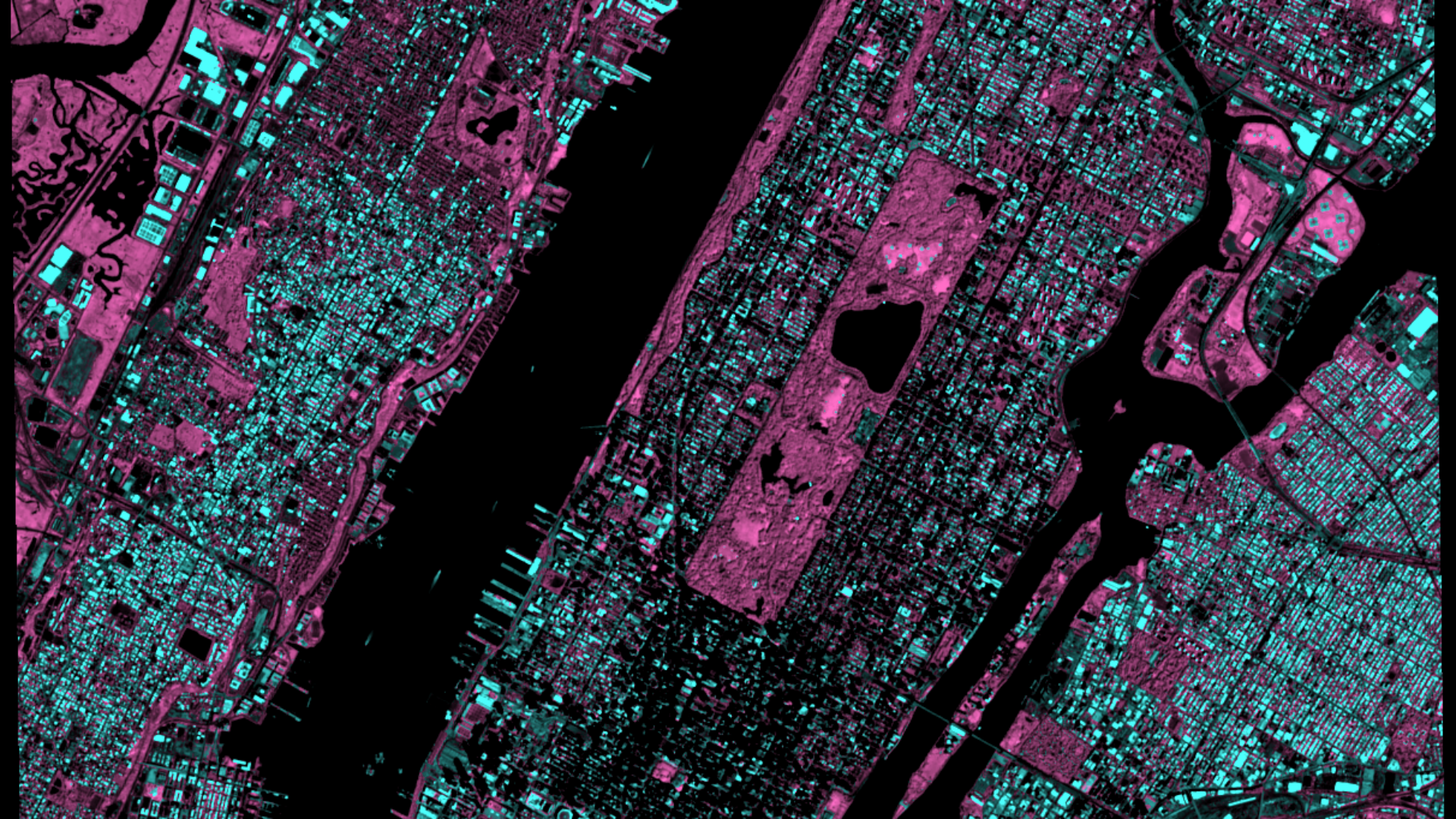
Sentinel-2 from scratch, in pure Python, on a normal laptop. A raster you build by hand, a real acquisition pipeline, three spectral indices proved as separators, a two-year data cube, and a land-cover map of Manhattan you trained — with every result interpreted and its limit stated out loud. This is the raster fluency every model below assumes.
Learn more → · Start the course → Course · ~2.5 h
3. Fundamentals of GeoAI: Deep Learning for Geospatial Analysis
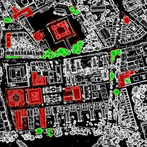
A U-Net assembled from a single Conv2d filter, then put to work four times: crop mapping in Hungary, change detection with a Siamese network, building segmentation over Amsterdam, and buildings versus trees from Scottish LiDAR. You know what every block does before you train it.
Learn more → · Start the course → Course · ~3.5 h
4. Building Classification with GeoAI — Google AlphaEarth in Python
First contact with foundation-model embeddings: 64 bands per pixel, downloaded directly, joined to OpenStreetMap footprints. The step between the models you built and the ones you will borrow.
Watch → · Read the write-up* → Free video · 24 min
5. How I Built a GeoAI Agent That Answers Spatial Questions in Plain English
Five minutes on where the book ends: a language model connected to five spatial tools, asked about a city, and checked. Watch it before you commit to the 460 pages.
Watch → · Read the write-up* → Free video · 5 min
6. Geospatial Data Science Essentials: 101 Steps to GeoAI from Scratch
The course in print, and then the eight chapters no course covers: object detection, height regression, spatio-temporal forecasting, cloud gap-filling, foundation models compared, and the agent — built from scratch. Every model evaluated on regions it never saw.
Learn more → · Get the book → Book
Going deeper
Optional, any order.
Detecting Wildfire Damage with Python, Satellite Data & OSM
A complete satellite pipeline — Sentinel, NASA FIRMS, OSM, burn-ratio differencing — with no deep learning in it at all.
Watch → · Write-up, part 1* → · Part 2* → Free video · 24 min
Google's New Rooftop Dataset + Python: 12 Cities Compared
Working with a satellite-derived machine-learning dataset, and why London's roofs are dark.
Watch → · Read the write-up* → Free video · 6 min
A Comprehensive List of Satellite Indices
The course teaches three indices properly; this is the reference for the other forty.
Read* → Reference
The Public Geospatial Foundation Model Landscape in 2026
Seventeen models, who built them, and the numbers that matter.
Read* → Reference
101 Essential GeoAI Concepts
The field's working vocabulary, one plain sentence each.
Read* → Reference
30 Data Sources for GeoAI
Where to find the data for your own next project.
Read* → Reference
10 Papers on Spatial Downscaling
Elective reading on sharpening coarse satellite products.
Read* → Reading list
* Part of my premium Substack plan.