Our work speaks for itself.Geospatial Data Science Essentials:
101 Steps to GeoAI from Scratch
What is this
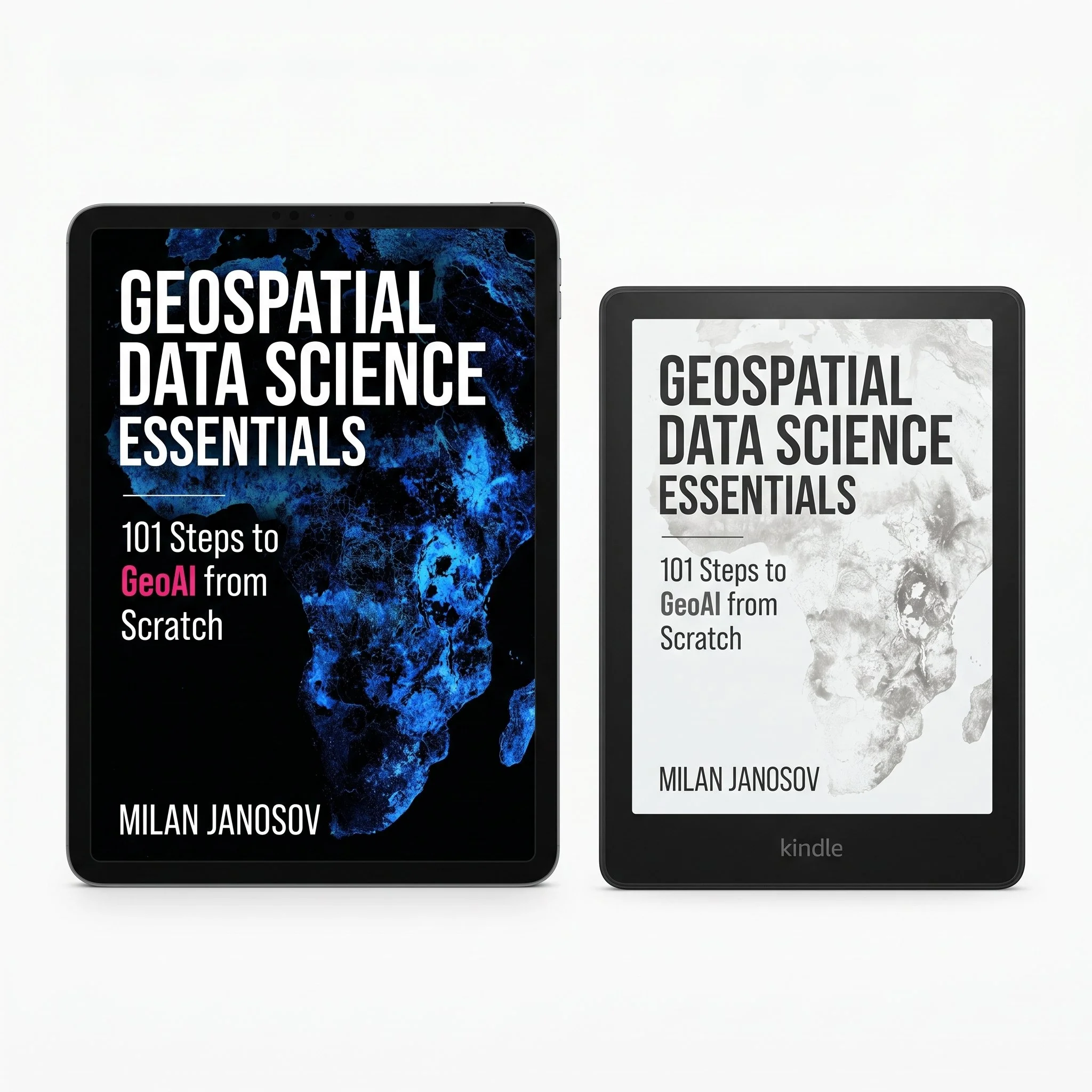
The second book in the Geospatial Data Science Essentials series. Where the first volume built the modern geospatial Python stack from zero — geometries, rasters, projections, OpenStreetMap, networks, classical spatial statistics — this one picks up where machine learning meets spatial data and goes all the way to building a conversational GeoAI agent from scratch.
101 numbered steps across 14 chapters. 460 pages. Every architecture implemented in PyTorch from first principles. Real Sentinel-2, LiDAR, and aerial datasets from Chapter 4 onwards. Every model evaluated on geographically held-out regions — not shuffled train/test splits.
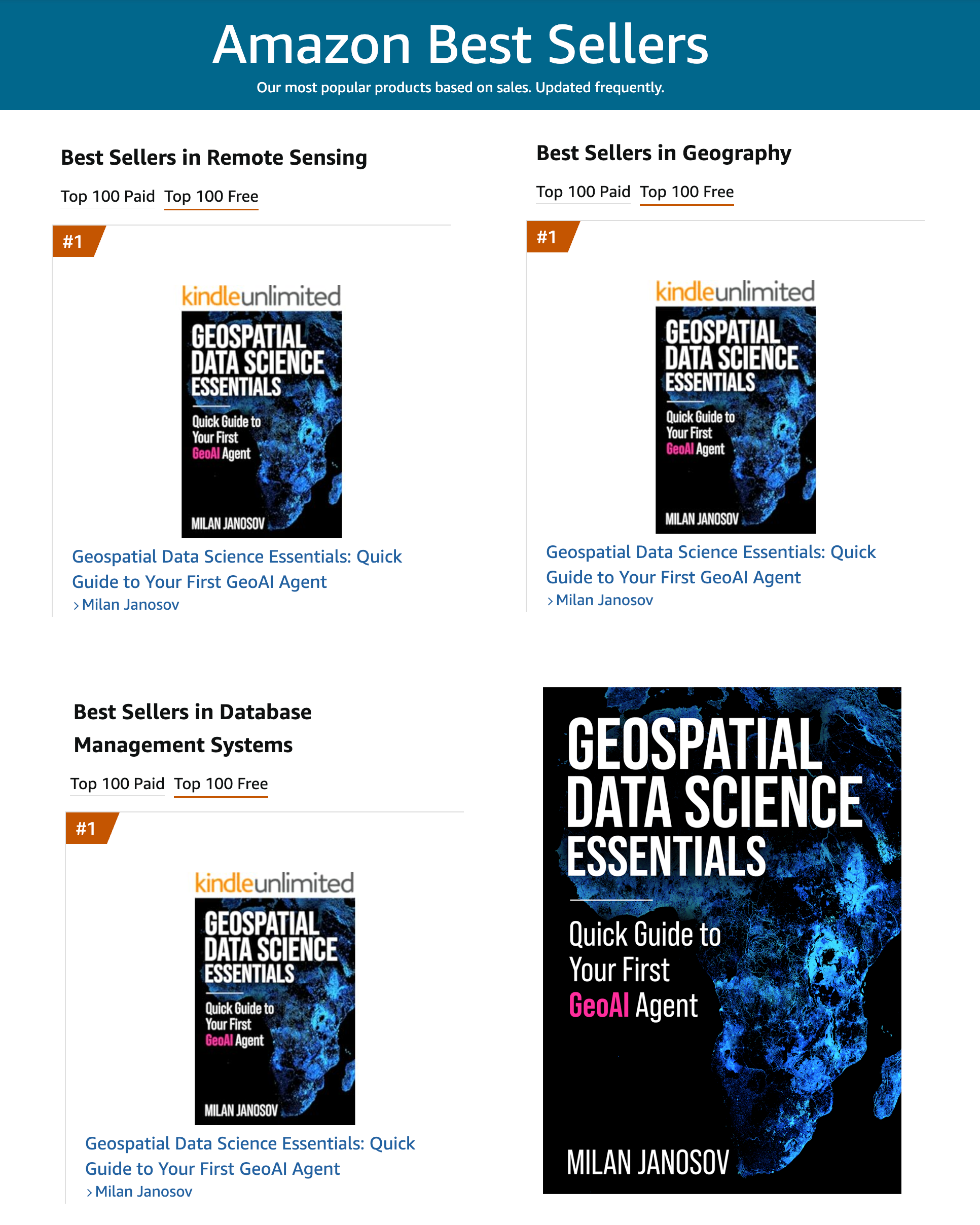
Reached #1 Free in multiple geospatial categories on Amazon at launch.
What's included
Full PDF (460 pages) · 14 Jupyter notebooks, one per chapter · shared geoai_utils.py module · requirements.txt · all satellite, LiDAR, aerial, and vector datasets
Full outline
Chapter 1 — Introduction & Foundations · What GeoAI is and how to read this book · Environment setup · Core concepts
Chapter 2 — Architecture Zoo · CNN encoder · U-Net for pixel-level segmentation · Siamese network for change detection · PatchClassifier · CarEncoder · HeightRegressor · Detection architectures from sliding window to YOLO · CloudAutoencoder · ScalarLSTM · ConvLSTM · Decision framework: choosing the right architecture
Chapter 3 — Anatomy of a GeoAI Training Pipeline · Tensors and normalisation · Patch extraction · Balanced sampling · Spatial train/test split with geographic holdout · Training data quality · PatchDataset and DataLoader · Data augmentation · Loss functions · Optimiser and learning rate scheduler · Training loop with validation and early stopping · Evaluation metrics: IoU, F1, confusion matrix · Sliding window inference
Chapter 4 — Data Preparation for GeoAI · Edinburgh LiDAR · Edinburgh Sentinel-2 · Edinburgh OSM buildings · Hungary Sentinel-2 clear and cloudy scenes · Hungary 12-month time series · Hungary OSM land use · Dutch aerial imagery · Manhattan OSM POIs and boundaries
Chapter 5 — Semantic Segmentation · Binary and multi-class segmentation · Label generation · LiDAR-only model · LiDAR + Sentinel-2 fusion · Multi-class buildings/trees/ground · Evaluation and model comparison · Post-processing and vectorisation
Chapter 6 — Patch Classification · Patch vs pixel · OSM polygons to patch labels · CNN patch classifier · Confusion matrix and per-class recall · Spatial prediction map
Chapter 7 — Object Detection · Detection concepts · Annotation · CNN detector · Sliding window inference · Evaluation · Generalisation to unseen scene
Chapter 8 — Spatial Regression · Regression in GeoAI · LiDAR-to-10m labels · CNN regression head · Full scene prediction · Baseline comparison · Evaluation
Chapter 9 — Change Detection · Concepts and NDVI baseline · Training labels from NDVI difference · Siamese U-Net · Full scene inference · Evaluation and comparison
Chapter 10 — Spatio-temporal Forecasting · Spatio-temporal concepts · NDVI time series preparation · Seasonal NDVI cycle · Patch sequence dataset · LSTM scalar forecasting · ConvLSTM · Training · Inference, evaluation, and forecast visualisation
Chapter 11 — Clustering & Unsupervised GeoAI · Unsupervised GeoAI · POI data preparation · K-means without normalisation · TF-IDF normalisation · Clustering · Functional zone map interpretation
Chapter 12 — Spatial Interpolation · The gap-filling problem · Cloud detection · Convolutional autoencoder · Training · Cloud reconstruction and baseline comparison · External validation
Chapter 13 — Foundation Models · Foundation model concepts · SAM: Segment Anything Model · RemoteCLIP: zero-shot text classification · TESSERA: temporal radar and optical embeddings · AlphaEarth: annual satellite embeddings · Decision framework: which model for which task
Chapter 14 — Building a GeoAI Agent · Study area · POI data layer · LLM setup via Groq API · Spatial index · Five spatial tools · Agent loop · Five example queries
Who is this for
You, if you work with spatial data and want to add deep learning to your toolkit without outsourcing your understanding to a library. You, if you read the first volume and wondered what comes after classical spatial statistics. You, if you want to understand GeoAI at the level required to debug it, extend it, and ship it — and to direct an AI agent on spatial tasks and know whether its output is right.
Not for you if you want a theory-first survey of architectures, a shortcut that calls a pretrained model and moves on, or point-and-click GIS workflows.
Prerequisites: Python, NumPy, Pandas, GeoPandas, rasterio — at the level of Book 1. No prior deep learning or PyTorch experience assumed. Everything is built from scratch.
What you build
U-Net for semantic segmentation — buildings, trees, and ground from LiDAR and Sentinel-2 over Edinburgh
CNN patch classifier — land cover mapping from Sentinel-2 over Hungary using OSM polygons as labels
Object detector — vehicle detection from 7.5cm Dutch aerial imagery, with sliding window inference
Height regressor — predicting building and tree height from spectral bands, replacing LiDAR with Sentinel-2
Siamese change detection network — finding what changed between two seasonal Sentinel-2 scenes
ConvLSTM vegetation forecaster — predicting next month's NDVI from eleven months of satellite imagery
Unsupervised urban zone clusterer — functional neighborhood mapping from Manhattan OSM POIs with TF-IDF
Convolutional autoencoder — filling cloud gaps in satellite imagery from surrounding context
Foundation model benchmarks — SAM, RemoteCLIP, TESSERA, AlphaEarth applied and compared
GeoAI agent — a language model connected to spatial tools, answering real questions about a city in natural language
What's included
Full PDF (460 pages) · 14 Jupyter notebooks, one per chapter · shared geoai_utils.py module · requirements.txt · all satellite, LiDAR, aerial, and vector datasets
Full outline
Chapter 1 — Introduction & Foundations · What GeoAI is and how to read this book · Environment setup · Core concepts
Chapter 2 — Architecture Zoo · CNN encoder · U-Net for pixel-level segmentation · Siamese network for change detection · PatchClassifier · CarEncoder · HeightRegressor · Detection architectures from sliding window to YOLO · CloudAutoencoder · ScalarLSTM · ConvLSTM · Decision framework: choosing the right architecture
Chapter 3 — Anatomy of a GeoAI Training Pipeline · Tensors and normalisation · Patch extraction · Balanced sampling · Spatial train/test split with geographic holdout · Training data quality · PatchDataset and DataLoader · Data augmentation · Loss functions · Optimiser and learning rate scheduler · Training loop with validation and early stopping · Evaluation metrics: IoU, F1, confusion matrix · Sliding window inference
Chapter 4 — Data Preparation for GeoAI · Edinburgh LiDAR · Edinburgh Sentinel-2 · Edinburgh OSM buildings · Hungary Sentinel-2 clear and cloudy scenes · Hungary 12-month time series · Hungary OSM land use · Dutch aerial imagery · Manhattan OSM POIs and boundaries
Chapter 5 — Semantic Segmentation · Binary and multi-class segmentation · Label generation · LiDAR-only model · LiDAR + Sentinel-2 fusion · Multi-class buildings/trees/ground · Evaluation and model comparison · Post-processing and vectorisation
Chapter 6 — Patch Classification · Patch vs pixel · OSM polygons to patch labels · CNN patch classifier · Confusion matrix and per-class recall · Spatial prediction map
Chapter 7 — Object Detection · Detection concepts · Annotation · CNN detector · Sliding window inference · Evaluation · Generalisation to unseen scene
Chapter 8 — Spatial Regression · Regression in GeoAI · LiDAR-to-10m labels · CNN regression head · Full scene prediction · Baseline comparison · Evaluation
Chapter 9 — Change Detection · Concepts and NDVI baseline · Training labels from NDVI difference · Siamese U-Net · Full scene inference · Evaluation and comparison
Chapter 10 — Spatio-temporal Forecasting · Spatio-temporal concepts · NDVI time series preparation · Seasonal NDVI cycle · Patch sequence dataset · LSTM scalar forecasting · ConvLSTM · Training · Inference, evaluation, and forecast visualisation
Chapter 11 — Clustering & Unsupervised GeoAI · Unsupervised GeoAI · POI data preparation · K-means without normalisation · TF-IDF normalisation · Clustering · Functional zone map interpretation
Chapter 12 — Spatial Interpolation · The gap-filling problem · Cloud detection · Convolutional autoencoder · Training · Cloud reconstruction and baseline comparison · External validation
Chapter 13 — Foundation Models · Foundation model concepts · SAM: Segment Anything Model · RemoteCLIP: zero-shot text classification · TESSERA: temporal radar and optical embeddings · AlphaEarth: annual satellite embeddings · Decision framework: which model for which task
Chapter 14 — Building a GeoAI Agent · Study area · POI data layer · LLM setup via Groq API · Spatial index · Five spatial tools · Agent loop · Five example queries