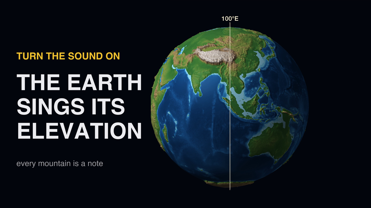
I have always been a music fan, and I am at my best when I get to combine that with data. So here comes the next chapter - I turned the entire globe into a small music experiment! Before moving on, make sure you turned the sound on. What you are hearing is not a soundtrack. It is the terrain itself.
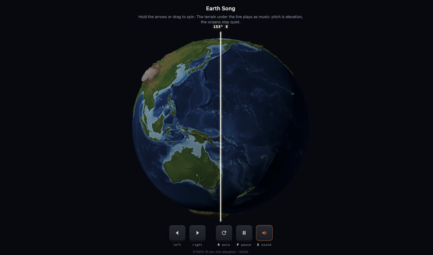
In the animation (see YT video at the end), the globe spins past a fixed vertical line, while in this interactive version, you can spin it yourself using the mouse and the keyboard.
Every frame, the strip of terrain passing under that line is read off an elevation model and played as sound. That is the whole idea - the rest is deciding how to do the mapping honestly.
How the mapping works
The elevation profile under the meridian is sampled in 1-degree latitude bands from NOAA’s ETOPO global relief model. Twenty-four bands, from 78 degrees south to 78 degrees north, each become a musical note. A note only sounds where there is land under the line: the amplitude follows how much of the band is land and how high it is, and the pitch follows elevation - the higher the terrain, the higher the note, quantized to a pentatonic scale across three octaves and plucked on a steady tempo grid, a little like a music box reading the planet as a punch card.
Ocean stays silent. That single rule turns out to carry most of the piece.
What to listen for
The Andes arrive as a long, high chord: a narrow mountain wall running almost the full height of the globe, so nearly every voice fires at once. The Himalaya and the Tibetan Plateau are the loudest, densest passage in the whole rotation - the largest mass of high terrain on Earth, and you can hear exactly that.
And then the Pacific. When the open ocean slides under the line, the planet goes almost quiet for about seven seconds. It is the most honest moment in the piece: 66% of what the line sweeps in one rotation is ocean, and the music simply says so.
What the sound is not
The sound is a mapping, not a recording - every design choice is listed here so you know what you are hearing. The relief on the globe is exaggerated 60x, otherwise mountains are invisible at planetary scale; the exaggeration is labelled on frame. Greenland and Antarctica play the top of their ice sheets, not the bedrock, so they sound as high land - which, for anything standing on them, they are. And the 10 arc-minute grid averages the sharpest peaks away: Everest’s summit does not exist in this data, so no single peak is ever quoted.
The making
Everything is pure Python: PyVista renders the globe, NumPy computes the profile under the line each frame and synthesizes the audio from it. There is no external music, no samples, no instrument recordings - every note is calculated from the elevation numbers. The elevation data is ETOPO (NOAA), public domain, in its 10 arc-minute ice-surface version.
Play with the interactive version
https://milanjanosov.github.io/earth-song/
Listen the rendered sound
The 3-minute version with three full rotations is on YouTube:
If you want more experiments like this - maps you can hear, walk through, or argue with - that is what this blog is for.
